Check Panama City Beach Red Tide: FWC, NOAA & Local Captain Tips
- PCB Prestige

- 5 days ago
- 7 min read
Red tide status changes week to week along the Florida Panhandle, so there’s no single permanent answer, but current conditions are almost always background to very low near Panama City Beach based on the FWC’s daily sampling, meaning most visitors face little to no respiratory irritation. Sensitive groups should still check before heading out. Confirm today’s specific reading on the FWC map and NOAA’s respiratory forecast before you commit to a beach day.
TL;DR:
Check the Florida Fish and Wildlife Conservation Commission map and NOAA respiratory forecast daily, focusing on recent samples and site-specific conditions.
Red tide cell counts below 1,000 per liter indicate no effects; levels over 100,000 often cause fish kills and discoloration.
Sensitive individuals and pets are at higher risk from inhaling aerosolized toxins, especially onshore winds or calm days.
Avoid water and marine life contact during active blooms, particularly when water turns discolored or foam accumulates on shore.
Private boat tours can reroute away from blooms, providing safer experiences by assessing water conditions each morning.
Table of Contents
How to Check Red Tide Conditions at Panama City Beach Today
The fastest way to know what’s happening in the water isn’t a news headline. It’s the Florida Fish and Wildlife Conservation Commission’s daily sample map, which plots the last eight days of water samples along the Panhandle coast and offshore waters. Each dot represents an actual test result, color coded by concentration, with a date stamp so you can tell whether a reading is fresh or aging out. Coastal samples matter more than offshore ones if you’re planning a swim, since Karenia brevis (the organism behind red tide) behaves differently a mile offshore than it does at the sandbar.
Pair that with the NOAA NCCOS Gulf Coast HAB forecast, which layers satellite imagery and wind modeling to predict where a bloom might drift over the next few days. Its respiratory forecast specifically estimates airborne irritation risk on a given beach segment, which is often more useful than the raw cell count.
Cell-count thresholds explain why two beaches ten miles apart can feel completely different:
Background (≤1,000 cells/L): no anticipated effects
Very low (1,000 to 10,000 cells/L): possible irritation in sensitive people
Low (10,000 to 100,000 cells/L): respiratory irritation likely, possible shellfish closures
Above 100,000 cells/L: often coincides with fish kills and visible water discoloration
Quick check routine: FWC map first, then NOAA’s respiratory layer, then your county health department page. If you’re still unsure, FWC runs a phone status recording for callers who want a human-readable summary instead of a map.
Red Tide Symptoms and Who Faces the Highest Risk
Most people who encounter red tide describe a scratchy throat, coughing fits, or watery, burning eyes that clear up within an hour or two of leaving the beach. It’s an irritant reaction, not an infection, and it tracks closely with how much toxin is in the air you’re breathing rather than the water you’re standing in.
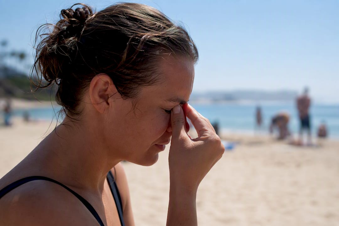
Wind direction changes everything. A stiff onshore breeze can carry aerosolized toxins from a bloom sitting just offshore straight into your lungs, even if the water at your feet looks perfectly clear. Calm days or offshore winds often mean lower exposure even during an active bloom nearby.
Higher risk groups include:
Children and older adults
People with asthma, COPD, or other chronic lung conditions
Pets, especially dogs that swim, drink seawater, or nose around washed-up debris
The CDC’s guidance on harmful algal blooms recommends moving away from the shoreline at the first sign of coughing or eye irritation, rinsing exposed skin and eyes with clean water, and seeking medical attention if symptoms include wheezing or chest tightness that doesn’t ease within a few hours.
Pro Tip: If your eyes start watering the second you step onto the sand, don’t wait it out. Walk back to the car, run the AC, and check the NOAA respiratory forecast before you decide whether to try a different stretch of beach.
What Should Swimmers and Boaters Do During a Bloom?
Red tide rarely closes an entire beach outright, but it does change what “safe” looks like from one day to the next. Here’s how to handle the most common situations:
Skip the water if you see warning signs. Discolored (often reddish brown or greenish) water, dead fish along the tide line, or foam accumulating near the shore all point to active bloom conditions worth avoiding.
Postpone snorkeling when concentrations run higher than “very low.” Snorkelers breathe close to the water surface, which increases exposure to aerosolized toxins compared to standing on dry sand.
Keep pets away from dead fish and foam entirely. Dogs that lick or roll in bloom debris can ingest toxins directly; rinse them with fresh water immediately after any beach exposure and consider skipping the beach altogether during a confirmed event.
Bring pets indoors during heavier onshore wind days, since airborne irritation affects animals the same way it affects people.
If you’re booking a boat tour or charter, ask whether the operator checks site-specific sampling before choosing a route. A private charter that can reroute away from a discolored patch offers more flexibility than a fixed-departure group tour.
If you’re also weighing water clarity for a swim, it helps to check where to find clear water conditions around Panama City Beach before you commit to a spot.
Why Do Red Tide Blooms Happen and Why Are They So Patchy?
Karenia brevis, the organism behind red tide, isn’t a new problem caused entirely by runoff or pollution. Blooms frequently start well offshore, driven by ocean currents and nutrient conditions that exist independent of human activity, though nearshore nutrients can help sustain a bloom once it moves toward the coast.
That’s also why one beach access point can look clean while another five miles down the coast shows fish kills. Wind and current patterns concentrate cells unevenly, and FWC’s own guidance stresses checking site-specific samples rather than trusting a single county-wide label. A bloom that hammered part of the Panhandle in past years, like the 2021 event that made headlines, can leave one town largely untouched while a neighboring county deals with heavy impacts.
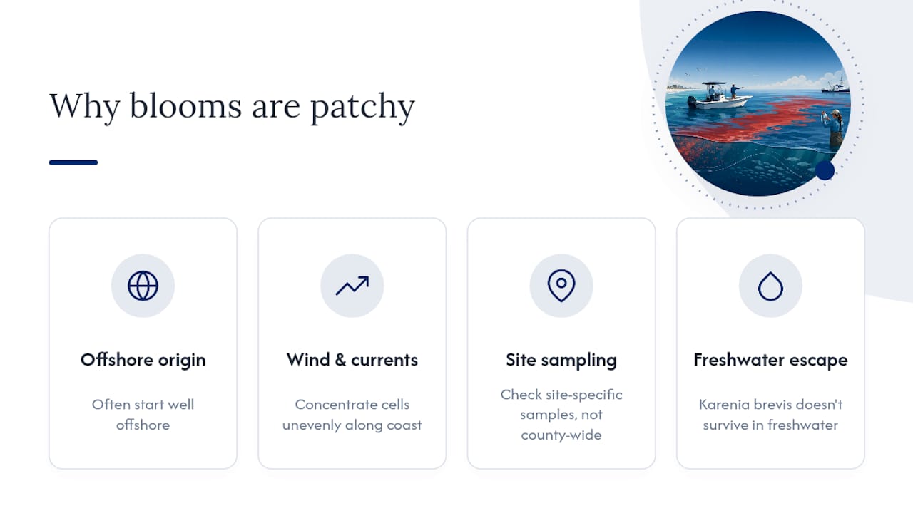
Duration varies wildly too. Some blooms fade in days, others linger for months, which is why forecasts shift quickly and a status check from last week tells you nothing reliable about today. One useful fact worth remembering: Karenia brevis doesn’t survive in freshwater, so moving even a short distance inland reliably escapes airborne symptoms.
Where to Find Official Red Tide Updates for Panama City
Skip the secondhand reports and go straight to the sources that actually run the sampling:
FWC Red Tide Current Status for the daily sample map, county summaries, and a phone hotline for status updates by voice
NOAA NCCOS Gulf Coast HAB Forecast for satellite-based predictions and the respiratory forecast layer
Your county health department for localized advisories tied to specific beach closures or water testing results
FWC’s fish kill and wildlife reporting tools if you spot dead marine life, which helps researchers track bloom movement in real time
Bookmark the FWC map specifically. It updates daily and remains the single best predictor of what you’ll actually encounter at a given access point.
How a Local Operator Reads the Water Before Every Trip
Running boat tours out of Panama City Beach means checking the same maps we just walked through before every single departure, not just during headline-making bloom years. Pcbprestige’s captains review FWC’s sampling data and NOAA’s forecast layer each morning and adjust snorkel and dolphin-watching routes toward sites showing background or very low readings when conditions warrant it.
A private, 26-foot charter carries an advantage a packed group tour doesn’t: the flexibility to reroute without needing forty other passengers to agree. That same situational awareness applies to other local hazards too, which is part of why Pcbprestige also publishes guidance on rip current safety and interpreting brown water conditions for guests planning a trip around variable coastal conditions.
— Justin
Book a Private Tour That Adapts to the Water, Not the Calendar
A group tour with a fixed departure time can’t reroute around a patchy bloom sitting near one access point. A private charter can. Pcbprestige runs licensed, captain-guided trips on a private 26-foot boat, which means your route to Shell Island or a dolphin-watching stretch of water gets picked based on where conditions look clearest that morning, not a preset itinerary shared with strangers.
If official advisories close a planned site on the day of your trip, Pcbprestige works with guests on rebooking rather than leaving them stranded with a wasted reservation. Families traveling with young kids or older relatives who want to avoid crowded group boats can check current availability and book a private dolphin and snorkeling tour directly, or browse the full range of tour options to find the trip length that fits your schedule. For travelers coordinating flights into the area, Bluebird’s private charter listings cover empty-leg routes worth checking before you lock in your dates.
This article is general information, not a substitute for advice from a qualified doctor. Consult a qualified healthcare professional about your own circumstances before acting on anything here.
Sources
Recommended
Comments